StreetRailway.com
Selected Projects | | Links: Link to website
This website will use postcards and maps to document the routes of several former Pennsylvania trolley lines.
Overview
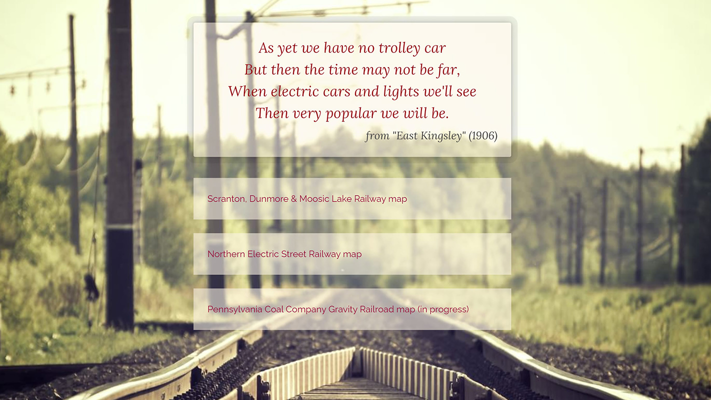
StreetRailway.com (under construction) will document the historical trolley lines/street railways and interurban lines of Northeastern Pennsylvania. As an archive of my personal collection of postcards and photographs related to the street railways, the website will display images and information in context on dynamic maps. The maps are custom-built using the Leaflet library and display georeferenced basemaps and field-collected GPS data tracing the former railway lines. Markers placed on the map indicate locations of track structures, stations, cars, and postcard views. The images will display in a lightbox overlay on top of the map, and detailed histories will be linked from the map.


A selection of screenshots from StreetRailway.com
Project type
Website (in progress)
Roles & responsibilities
Primary role
Website Developer
Responsibilities
- Application development
- Content creation
- Website design & development
Technologies used
- HTML, CSS, JavaScript for website development.
- Integration of Leaflet open-source JavaScript mapping library for displaying street railway locations on maps.
- GeoJSON files to store and access geographic data (map markers and railway right-of-way).
Deployment method
- Content creation via HTML files.
- Local development using Git repository.
- Application and content versioned in Git repository, commits pushed to Github, and automatically built and served by Netlify.