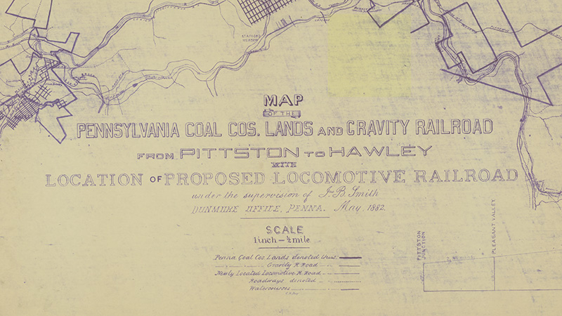
Map of the Pennsylvania Coal Company Lands and Gravity Railroad
Recently I have been enjoying watching Jason, from the YouTube channel JPVideos, who explores (among other things) abandoned railways and other areas relevant to eastern Pennsylvania history. In order to provide a bit of protection for some of these areas, he often leaves out any direct mention of the locations but gives just enough clues for someone familiar with the area, or someone who is observant and does some extra research, to figure it out. (I really enjoy this aspect of the videos, too!)
Rich and I often go right to our laptops after watching one of his videos to try to figure out more about the area he was exploring, identify any bridges or culverts that were found, and see if there are any survey markers in the area.
One short video series from a few years ago showed his exploration of the Erie Railroad line around the Scranton area. While recording video #3 in the series, Jason came across some very intriguing structures, and as usual, we took to the maps to see if we could a) identify exactly where he was walking, and b) get some idea of what the structures might be (because Jason didn’t know).
Well, we still don’t know, but in the process of searching, we found a new-to-us map of the former Pennsylvania Coal Company gravity railroad, and the proposed Erie line through the same area.
The digital copy we found is located within the Scranton Public Library’s digital collection Out of the Wilderness: The Industrialization and Development of the the Scranton Area, 1850-1865. The record for the map is here: Map of the Pennsylvania coal cos. lands and Gravity Railroad from Pittston to Hawley.

