Bird's-Eye View Maps of the Lackawanna Valley
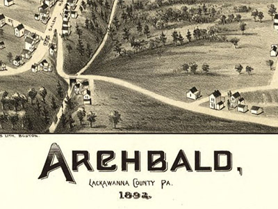
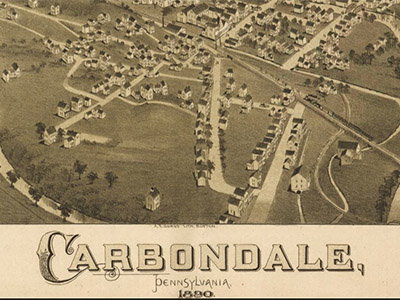
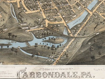
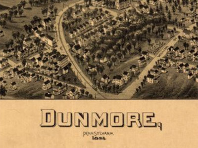
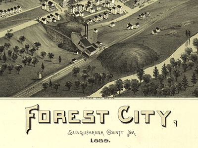
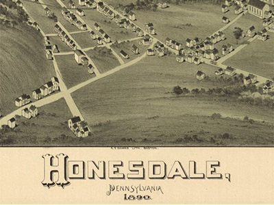
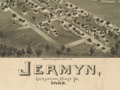
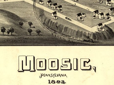
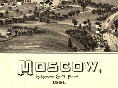
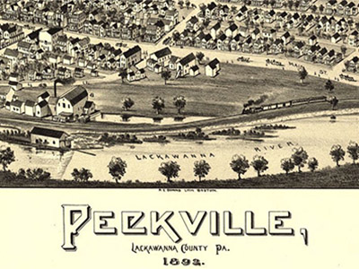
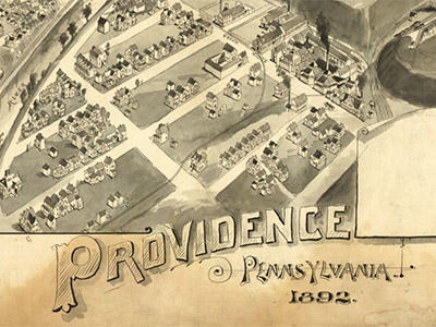
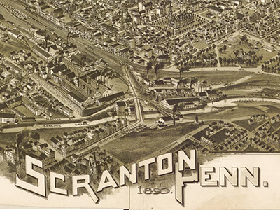
The bird’s-eye view maps typically published in the late 19th century are sometimes useful in my explorations of hidden and abandoned features, and in getting a sense of the layout of the land and the towns at a given point in time. Even when they’re not so useful, it’s great fun to get lost in them!
Here are a few maps from Pennsylvania’s Lackawanna Valley region and surrounding areas that I’ve referred to in the past. (Most links lead to the interactive viewer on the Library of Congress website; one leads to a catalog record at the Leventhal Map Center.)
Also see Bird’s-Eye View Maps of the Lackawanna Valley for more bird’s-eye view maps of Northeastern Pennsylvania.